Maps
Maps that explain how a city fits together. Interactive ones to explore, and print ones to keep.
Layers.City
Toronto
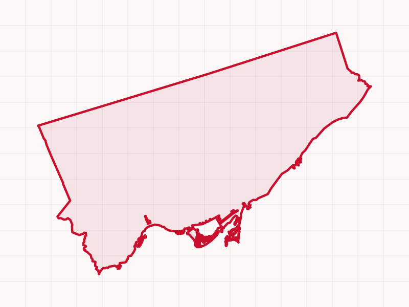
Toronto’s 158 neighbourhoods, 25 wards, 85 BIAs, old boroughs and the names locals actually use, like King West, live in a dozen separate city datasets. Layers.City puts them all on one map you can switch on and off. Type in any address to see every one it falls in.
Layers.City
Chicago
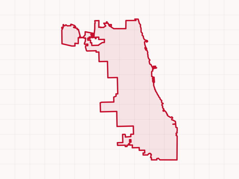
The same map for Chicago: the nine sides, 77 community areas, 50 wards, Special Service Areas, the ‘L’ and Metra, and the neighbourhood names people actually use, like Wicker Park. Type in any address or place to see every boundary it falls in and who represents it.
How it’s built
The idea, the principles and the architecture behind Layers.City: open city data turned into one map that keeps itself current, and how I built it with AI as an engineering partner.
Not a snapshot
Most maps are frozen the day they’re published. These rebuild themselves from the cities’ own open data on a schedule: new bus schedules, building permits, road closures and election results show up on the map without anyone redrawing it.
Each live layer shows when it was last refreshed, and a daily check flags anything that falls behind. How that works.
- DAILY
- Road closures for transit construction (the Ontario Line, Eglinton West, GO Expansion, Chicago’s Red Line Extension), from city permits, just after midnight.
- WEEKLY
- Bus and streetcar routes, stops and how often they run, from TTC, GO and CTA schedules (Mondays). Who represents you: councillors, alderpersons, legislators and MPs (Mondays). What’s changing: new buildings, demolitions and development applications (Tuesdays).
- MONTHLY
- Skyscrapers, including towers still going up; transit lines under construction; heritage buildings; and Toronto’s libraries, community centres and parks.
- ELECTION NIGHT
- Results every hour as polls report: Toronto’s school trustees and Chicago’s first elected Board of Education, then daily until the winners are official.
Neighbourhood guides: Toronto’s 158 neighbourhoods · Chicago’s 77 community areas
High-resolution city maps
Clean, printable maps of how Toronto is laid out, made to be read at a glance. The City of Toronto comes first, the Greater Toronto Area after.